The Turkey Hill Reservoir Parking Ban Isn't About Parking
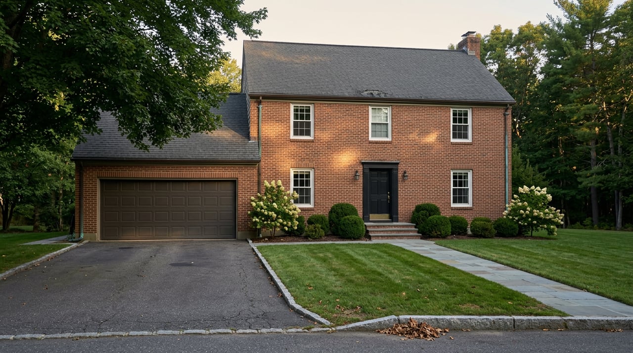
Anyone who has pulled off Turkey Hill Road for a morning walk along the Upper Artichoke Reservoir knows the routine. A car or two tucked onto the shoulder, maybe a cooler on a tailgate, a dog nosing toward the water through the brush. That routine ended this month.
On August 11, the city closed the informal pull-off area near the reservoir to parking. The reason, according to Water Treatment Plant Operations Superintendent Pete King in the Newburyport Daily News, is that officials need to "reevaluate all the parking around the reservoirs and access that people have." The easy read is that someone complained, or a truck needed the shoulder clear, and the city drew a line on a map for one road. That read misses the scope of what King actually said. He didn't say the city was reevaluating parking on Turkey Hill Road. He said it was reevaluating parking around the reservoirs, plural, and access that people have. That's a system-wide review wearing the disguise of a single closure.
The closure applies to the roadside area on Turkey Hill Road adjacent to the Upper Artichoke Reservoir, the stretch locals have used for decades as informal parking before setting off on foot. King framed the move as open-ended, tied to how long it takes the city to sort out what access should look like going forward, not a fixed date. For a neighborhood where this stretch of road has functioned as an unmarked trailhead for generations, that's a meaningful shift in how the city treats water-supply land it has mostly left alone.
It's worth remembering what this reservoir actually is before assuming the closure is arbitrary. The Upper Artichoke isn't a town pond maintained for recreation. It's working infrastructure. Newburyport draws roughly 80 percent of its drinking water from the Lower and Upper Artichoke and Indian Hill reservoirs, a system that serves close to 18,000 residents. Treating access to that system the way a city treats access to a public park was probably never going to hold indefinitely.
The Turkey Hill closure lands inside a broader push that's already underway. In July 2025, the city established an Ad Hoc Committee on Water Infrastructure Prioritization to guide decisions on the reservoir network, from pump station upgrades to filtration to what the city's own water infrastructure page calls securing redundancies across the system. That page is blunt about the pressure driving the work: more intense storms, storm surge risk to the Merrimack River supply, higher temperatures, and drought are all named as immediate risks to the water system, not distant hypotheticals.
There's also a cautionary example already in the record. Bartlett Spring Pond, one of the city's backup sources, has been offline since 2021 after PFAS levels came in above the state's limit, and it remains offline today because it still exceeds the EPA's current standard. When one leg of your water supply gets pulled out of rotation for a regulatory reason, the remaining reservoirs carry more weight and probably get more scrutiny, not less. A parking review along Turkey Hill Road reads differently once you know the city already lost one source to a hard restriction and can't afford to be casual about the others.
None of this means every pull-off around Newburyport's reservoirs is about to close. It means the reasoning behind the Turkey Hill closure, treating reservoir land as protected infrastructure rather than open recreation, applies just as easily to any other unofficial access point along the same system. Anyone who's found a workaround this month shouldn't assume it's permanent.
For now, three established access points remain open, and each offers a genuinely different experience of the same reservoir system.
| Access Point | Where to Park | What You'll Find |
|---|---|---|
| Withers Conservation Area | Middle Street, West Newbury, via the right-of-way next to the Insight Meditation Center, or across the bridge on Plummer Spring Road from downtown Newburyport (about 1.75 miles from Low Street via Hale Street) | 24 acres of town-owned land with shoreline views along the Upper Artichoke and a forest loop trail; fishing permitted |
| Quaker Cemetery / Fisherman's Trail | Turkey Hill Road, at the Newburyport city line | A short walk past an old cemetery leads to reservoir shoreline; take the marked Fisherman's Trail if you'd rather not walk through the burial ground itself |
| Indian Hill Road | Trailhead parking lot on Indian Hill Road | A steep quarter-mile climb to hilltop views of Newburyport and the ocean in winter, or a flat mile of paved road along the shoreline to the dam, with public access continuing along Moulton Street |
Boating and swimming aren't permitted at any of these, since this is still an active public water supply rather than a recreation pond. Fishing is allowed at each of the three.
For anyone tempted to bring a rod along, the Upper Artichoke has a reputation among local anglers for largemouth bass, chain pickerel, and black crappie. It's not a stocked fishing pond marketed for the purpose. It's a working reservoir that happens to hold fish, which is a fair summary of the whole property: useful, functional, and open to the public on terms the city sets rather than terms shaped around convenience.
The same stretch of reservoir has had other infrastructure attention this year. The Middle Street bridge connecting West Newbury and Newburyport, which sits near the Withers Conservation Area entrance, has been under reconstruction as a joint project between the two towns. The work was on track for full completion by early summer 2026, ahead of its November 2026 contractual deadline, with the two municipalities splitting non-grant-funded costs roughly 50/50 after securing state grants that brought each town's share down to about $275,000. It's a separate project from the parking review, but it's the same corridor, the same shared reservoir system, and the same year of visible change. Residents who've watched construction crews at that bridge all spring are watching the same water supply infrastructure that's now driving the Turkey Hill decision.
Take these together and a pattern emerges that's easy to miss if you only read the parking notice on its own. A backup water source offline since 2021 over PFAS. A new committee formed last year specifically to prioritize water infrastructure decisions. A bridge rebuild on the same reservoir this year. And now a parking closure explicitly framed as part of reevaluating access across every reservoir the city relies on. None of these events caused the others, but they all point the same direction: Newburyport is treating its reservoir system as infrastructure that needs active management, not land it can leave to informal use indefinitely.
If you live near Turkey Hill or Cherry Hill and this loop is part of your week, that's the detail worth sitting with. The workaround you find this month is built on the same logic that just closed the spot you used last month.
For residents thinking about what any of this means for property near the reservoir corridor, or just looking for a clearer read on how Cherry Hill and Turkey Hill are changing this year, Person + Person Group tracks these local shifts as closely as we track the market itself. Download our Newburyport Guide or reach out for a personalized market plan if you'd like the fuller picture.
Whether you're simply thinking of buying or selling a home, or know someone who is, we're here to ensure your real estate experience is a great one. Let us help you find your dream home or investment property.